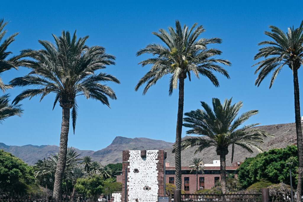
General Info
La Gomera hiking guide. La Gomera (Canary Islands) is a small island located west of the African coast full of striking contrasts. One moment you find yourself hiking between cacti, palm trees and withered plants, and a little later through beautiful green swampy forests. One moment you’re walking through dense fog and the next you’re sweating from the burning sun.
The best time to visit la Gomera for hiking is during spring or fall, because during these months temperatures are more pleasant with 15-25 degrees Celsius, and the island is more colorful. You can expect pleasant temperatures year-round. Nights are usually cool but not cold, rarely dropping below 15°C (59°F). During the day, the weather is normally warm and sunny, though it can be a bit cooler in the winter months.
This island is harder too access than the other Canary islands. The majority of tourists come via Tenerife by ferry, which ensures that it doesn’t get too busy since there are only a certain number of departures per day.
Getting to la Gomera
Most common is to take a plane to Tenerife South and then take the ferry from Los Cristianos to San Sebastian de la Gomera. The ferry is about 90 euros for a round trip. It’s important to book tickets in advance because they often sell out a couple weeks before departure.
Nevertheless, there is an airport on la Gomera near Playa Santiago, but flights hardly go there and these flight tickets normally are way more expensive than flying to Tenerife.
Where to stay?
Villa Gomera hotel in San Sebastian is a place I’d absolutely recommend. Its location is quite central and the price is way cheaper than the other options. Another relatively cheap option with good reviews is Hotel Torre Del Conde.
In addition, on Airbnb you can find a few good options in San Sebastian, but my experience with Airbnb is that you always have to book very early in advance.
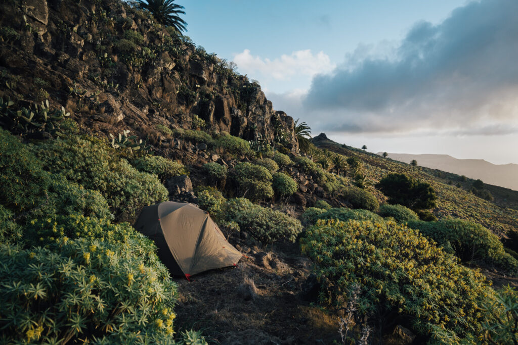
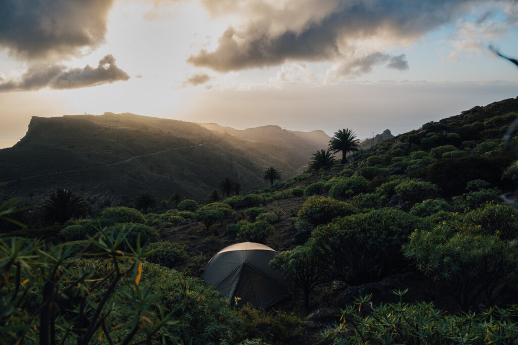
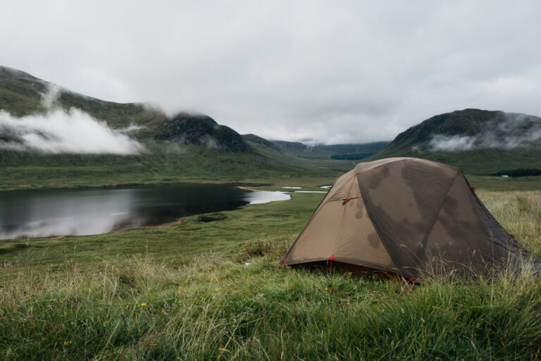
The other nights of this one-week hike I pitched my tent at absolutely beautiful spots. I will go into this in more detail in the day-to-day guide. If you would like to know the exact locations of these camp spots just send me a message on Instagram @breakawaywithbart.
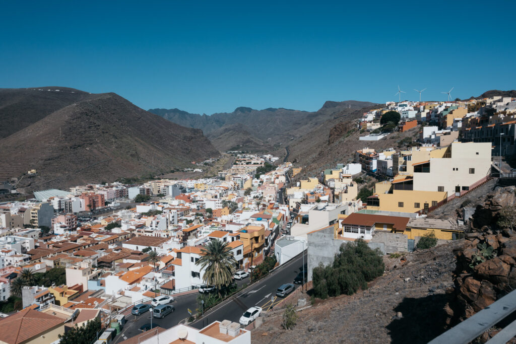
La Gomera hiking: stats and ratings
- Total: 85km (50 miles). Starting in San Sebastian you’ll hike the whole GR131 and later at Playa de Vallehermoso follow the GR132.
- 4700m elevation gain. Prepare for lots of climbing.
- Highest point: 1487 m at Alto de Garajonay.
- Tourist density: 5/5. It’s hard to get to this island by plane. Most people visit by ferry, so there’s only a certain number of people per day.
- Difficulty level: 3/5. The islands’ relief, lots of climbing and few supply points make this hike hard. You need a decent fitness level. Nevertheless, it also depends on how fast you walk and how many kg you take with you.
- Sights: 5/5. Simply magnificent views and a lot of variety.
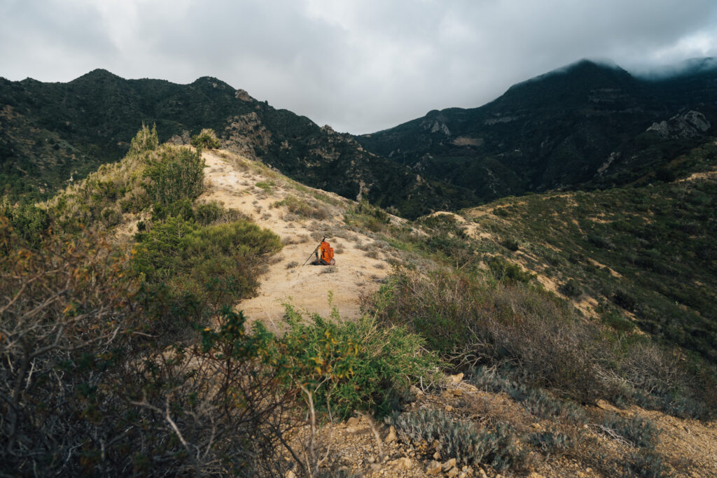
- Wild camping: 2/5. This needs explanation. The places where I pitched my tent were beautiful, but finding a spot was extremely difficult. One day, I spent three hours searching for a flat spot while darkness was approaching.
Route information
There simply are two famous hiking trails on the island: the GR131 and the GR132. In my opinion, GR131 cannot be missed because of some of its amazing highlights:
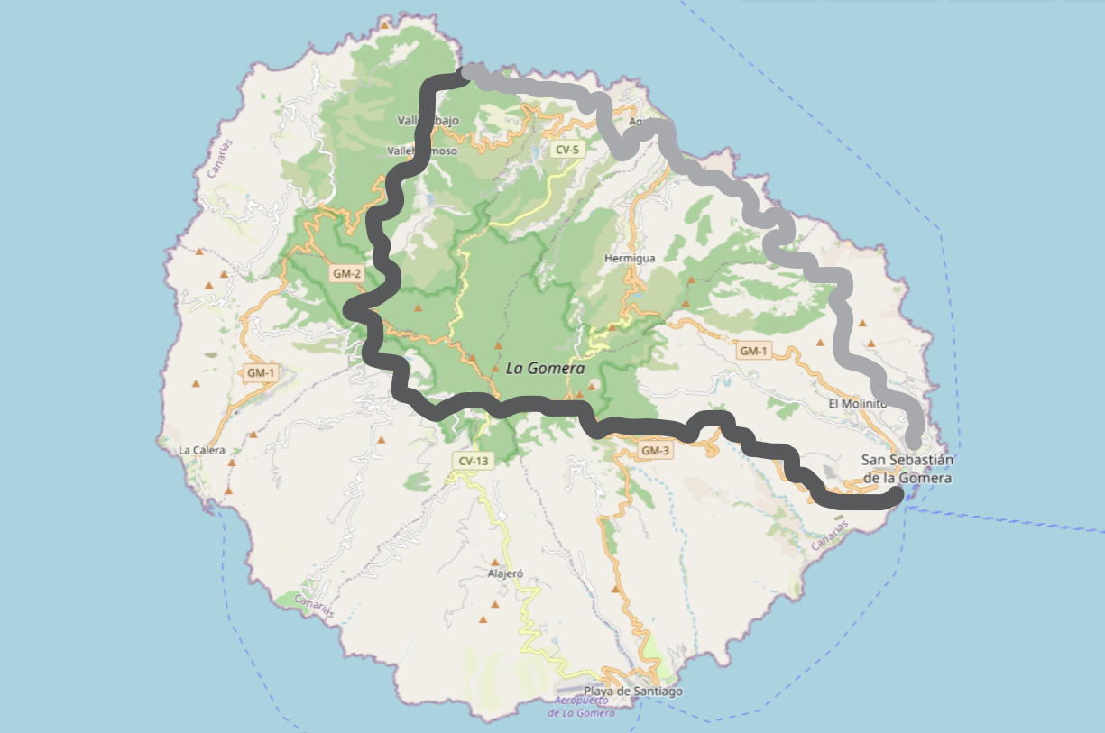
La Gomera hiking: GR131 and GR132
First, you’ll start following the GR131 in San Sebastian de La Gomera and this first part ends at Playa de Vallehermoso.
The GR131 is about 40 kilometers (25 miles) and takes about 3 to 4 days to complete. the GR131 has a great amount of ascending and descending, with a total vertical gain of about 3000 meters (9800 feet).
What makes the GR131 special is the diverse and stunning scenery you’ll find along the way. You can find great highlights such as:
- Garajonay national park
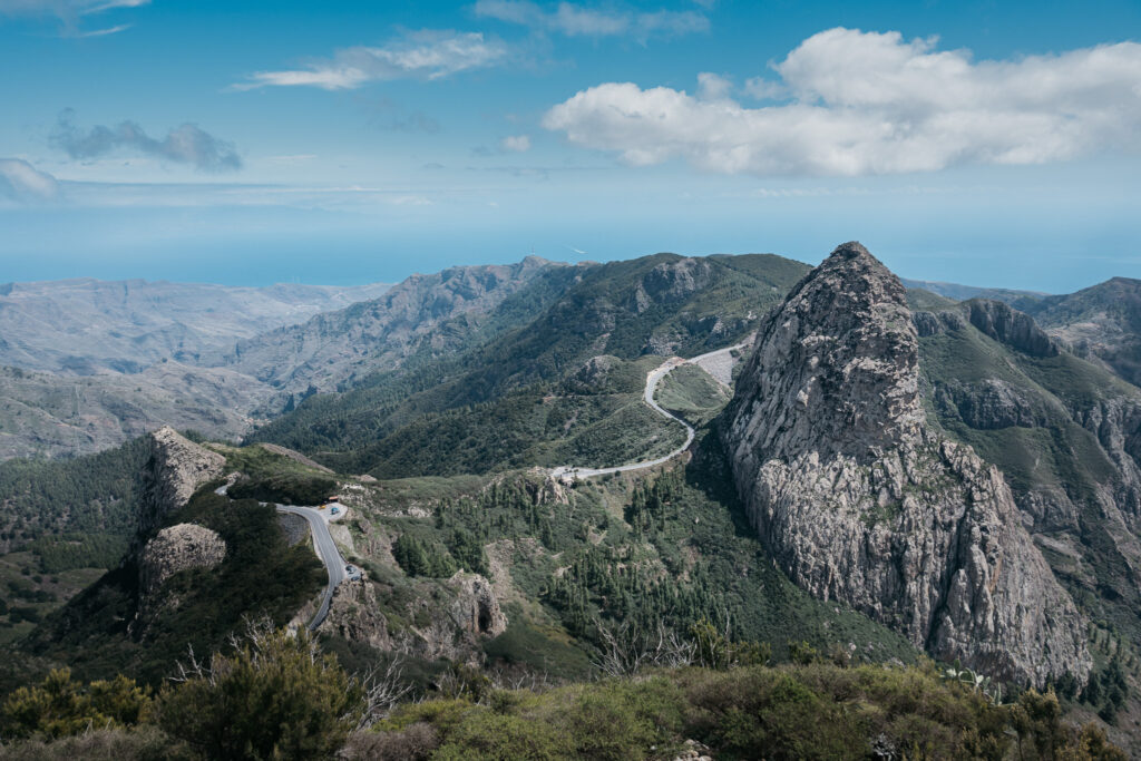
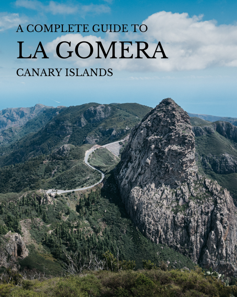
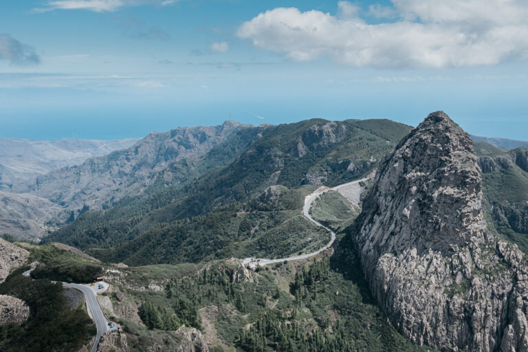
- Mirador de los Roques
- Mirador Degollada de Peraza
- Punta del Beleta
Next, after reaching Playa de Vallehermoso you’ll start following the GR132 route. This trail is part of the large GR132 network on the Canary Islands. However, this trail offers completely different environments and views than the GR131.
This second part from Playa de Vallehermoso to San Sebastian again is about 40 kilometers (25 miles) and takes 3 to 4 days to complete. It’s a drier part than the first few days, but every now and then you will climb back into the misty forest again. Once again, the views are absolutely amazing with highlights such as:
- Playa de Vallehermoso
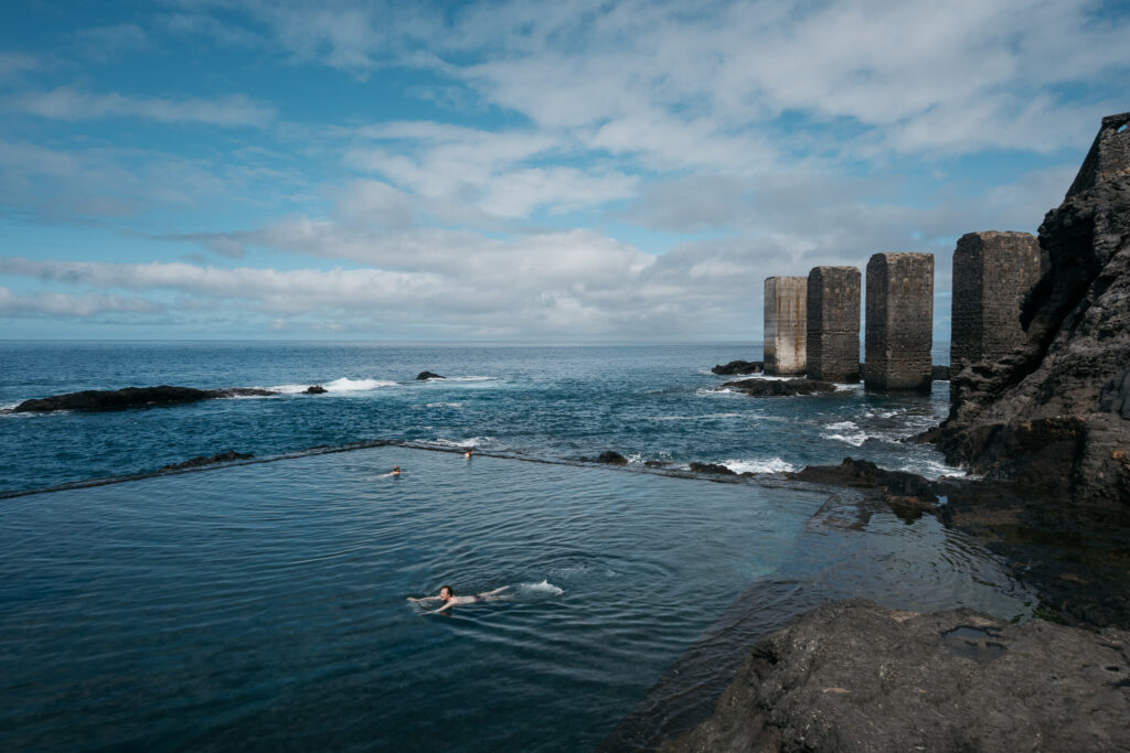
- Piscina Natural de Hermigua
- Agulo
- Parque de Natural Majona
Day to day guide
DAY 1
The hike starts in the beautiful town of San Sebastian de la Gomera, this place is known to be one of the decors for the history of Christopher Columbus as he has visited this island several times during his travels and it’s said that he had a girlfriend living at La Gomera.
Before you start with the hike make sure you buy groceries, gas can, etc. in San Sebastian, because once you leave this city it’ll take a long time before you come across a supermarket again. Nevertheless, today after 5 km you’ll walk past this place called Bar Degollada de Peraza. So keep in mind that you don’t have to buy liters and liters of water in San Sebastian yet (as I did), because you can buy big water bottles and lunch in that bar as well.
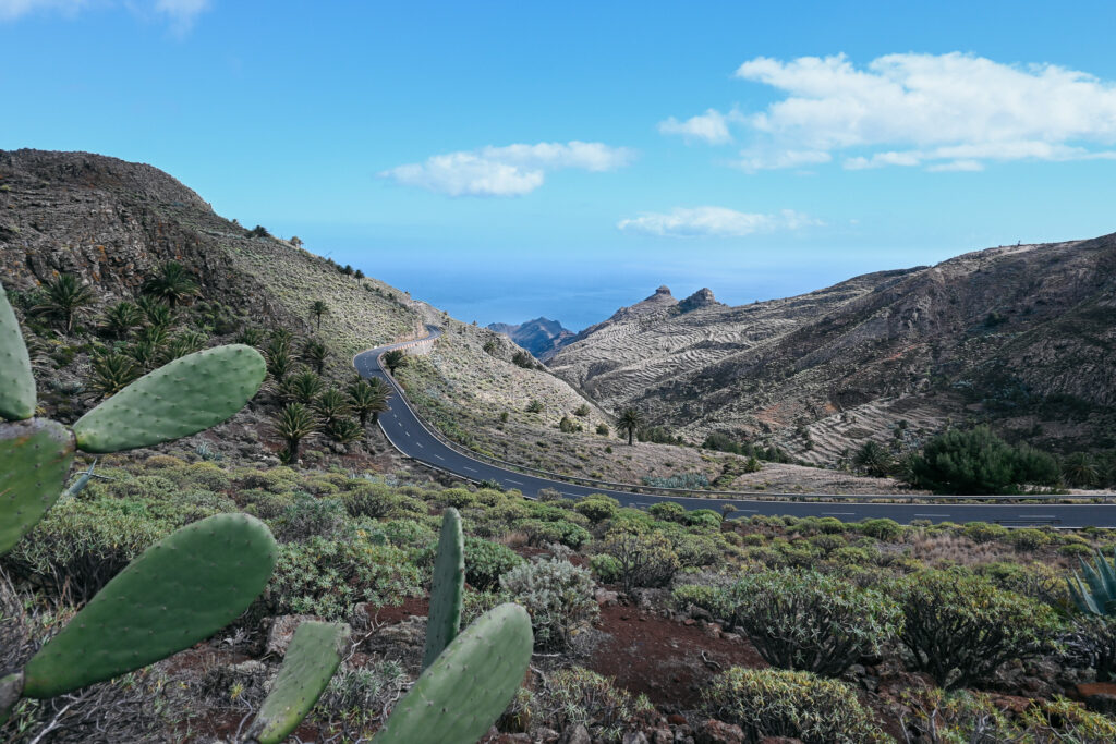
When hiking up the mountain, don’t forget to have a look back at San Sebastian. A highlight of the first day is the view over Roque del Sombrero. The rock formation is known for its hat-like shape.
Also, unlike many others who travel by bus, you will have much better views of Mirador Degollada de Peraza.
10 km – 900 m elevation gain.
Tips: Resupply at Bar Degollada de Peraza – Leave stuff you won’t use in San Sebastian.
DAY 2
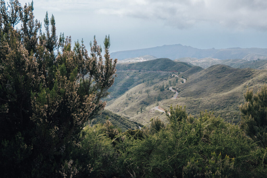
Hopefully, you experienced a sunrise as breathtaking as the one I witnessed when I woke up. Leaving your camp spot you’ll start climbing into the Garajonay National Park. Yes, on the second day, you’ll already find yourself hiking into the beautiful Garajonay Park.
The second day will offer more variety and spectacular views. The highlights are:
- Chapel Ermita de Nuestra Señora de Las Nieves. Also you can refill your water bottles here.
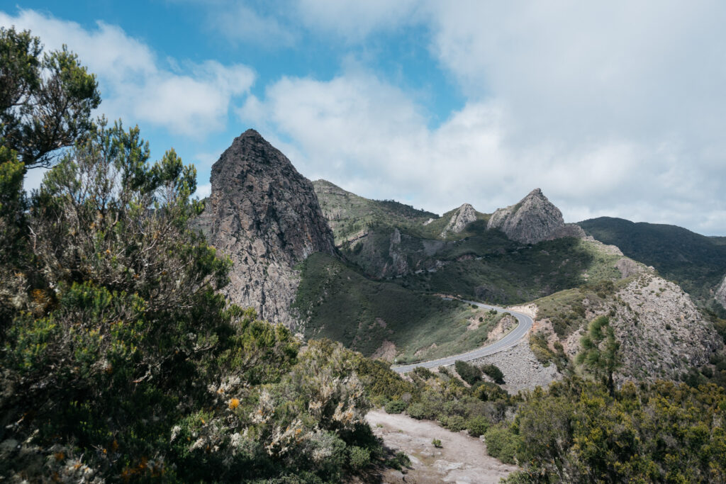
- Mirador de los Roques: Search ‘La Gomera’ on Google, and this place will pop up on many of the pictures.
- Mirador del Morro de Agando: Looking for a cover on your La Gomera photo album? Here it is.
- Alto de Garajonay. The highest point of the whole island at 1487 m.
- Mirador de Igualero. A stunning view over the southwestern part of the island.
14 km – 1050 m elevation gain.
Tips: Resupplying is hard on day two. You can ask someone in Igualero or wait until reaching Pavón where you can find several bars – If it isn’t cloudy have a look at the starry sky during the night, it’s a spectacular view.
DAY 3
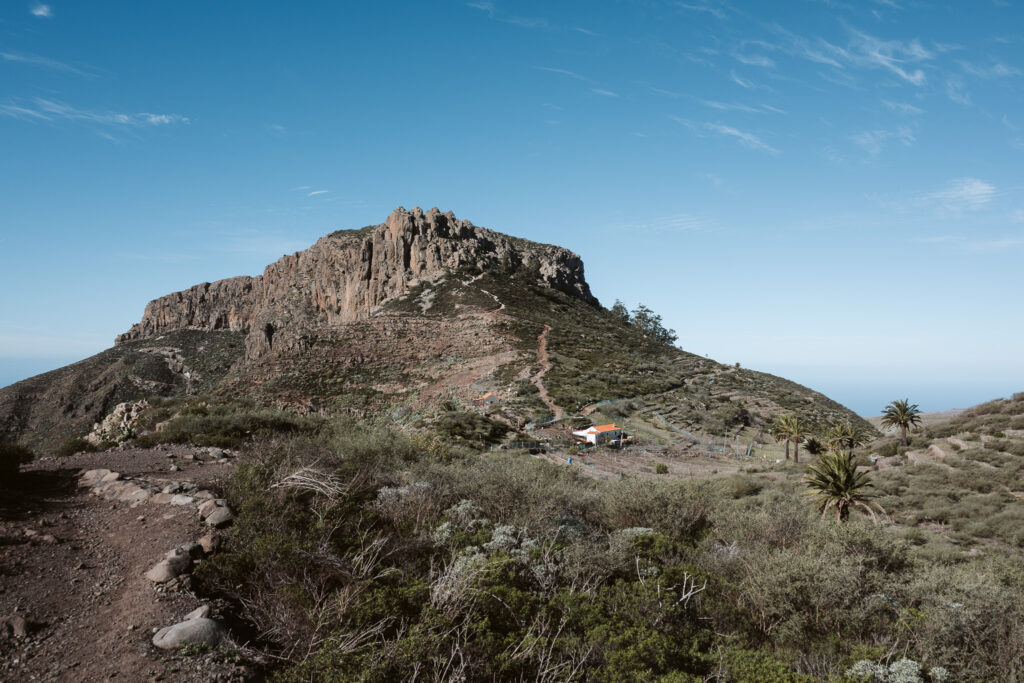
Today you’ll hike towards Fortaleza de Chipude. This is an important geological formation, it reaches an altitude of 1,243 meters and was formed millions of years ago due to volcanic activity and erosion, it’s primarily composed of basalt. Fortaleza de Chipude has a couple archaeological sites nearby. Including circular huts and sheepfolds dating back to prehistoric times. This place holds cultural and symbolic importance, confirmed through written records, and archaeological findings.
You can climb it and I bet it offers great views, but I decided not to and continued towards this little village called Pavón. In Pavón are several restaurants. Bar ‘Yo dejé el bar ya’ offers great food for a reasonable price and the owner was very friendly.
There’s no need to resupply just yet, since today you’ll pass two other small villages to gear up. While walking towards Las Hayas you’ll pass Mirador Punta del Belete which offers some stunning views over the whole valley.
After Las Hayas there’s a big stretch of no places to resupply, so make sure you bring enough for the next part until Banda de las Rosas.
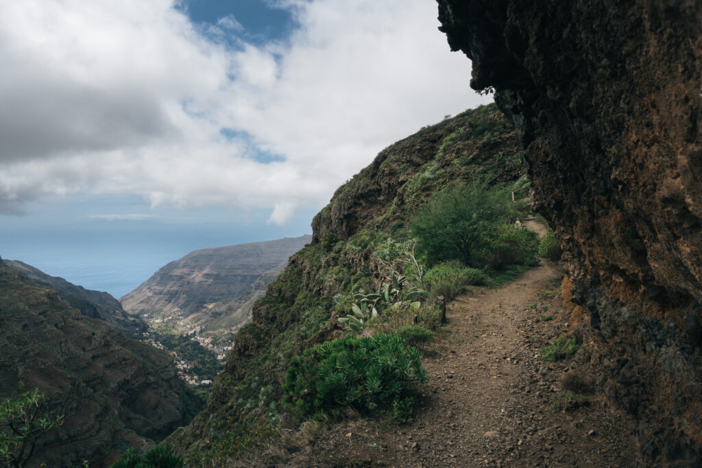
Also, don’t miss Mirador Risquillos de Corgo because it’s great for photography. After this mirador I was looking for a place to pitch my tent as the evening was approaching, but it was extremely hard to find a flat spot in this area. I walked all the way to Banda de las Rosas where I finally was able to find a good spot.
13 km – 550 m elevation gain.
Tips: Gear up your food at Supermercado Navarro, you can only resupply your water at El Cercado or Las Hayas. – Try to find a camp spot early, today it’s hard to find a flat spot.
DAY 4
Today, you’ll reach the coast again after four days. The first part of today involves a lot of downhill walking towards Playa de Vallehermoso. Once you reach the beach, you’ll start with following the GR132. Keep following the GR131 from Rosas de las Piedras towards Vallehermoso. At this nice little village you can resupply again or visit a restaurant.
Also, at the beach you’ll find this castle-like building named Castillo del Mar. This place used to be a pier for bananas, and later there were concerts and theater performances. Currently it’s abandoned and the road is heavily damaged by falling rocks. It’s a great spot for photography because of the view over Tenerife.
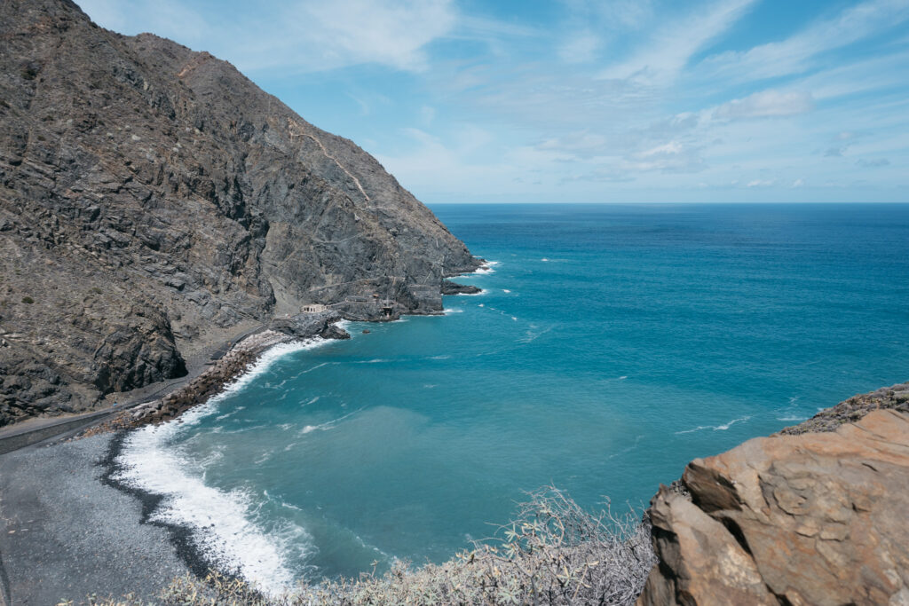
Additionally, at Playa de Vallehermoso is a recreation area. There are picnic tables and water taps, but unfortunately the taps didn’t work. Maybe because I was there during low season. This next part of the hike is tough. It’s a lot of climbing and your backpack is probably heavy with food and water.
In the end, after today’s tough hike and many kilometers of climbing, I decided to treat myself for a dinner at Restaurante Juego de Bolas. I pitched my tent near Juego de Bolas parque and this was such a great spot. The sunset that evening was absolutely stunning. Send me a message on Instagram if you want the exact location.
12 km – 900 m elevation gain.
Tips: Eat and drink at Playa de Vallehermoso to reduce the weight of your backpack, because up next is a long way uphill – If you have time, visit Castillo del Mar since you can take beautiful pictures of Tenerife from here.
DAY 5
Day 5 was one of the highlights of the whole hike for me. There were amazing views and some great spots for photography. You’ll walk past this lovely village called Agulo. Also, you can decide to visit Mirador de Abrante with an amazing view over the Atlantic ocean and Tenerife.
Moreover, in Agulo you can resupply and buy lunch, a friendly farmer gave me a few bananas. Buy lots of food and water here, because for the next +/-20 kilometers you won’t encounter any other spots to resupply. You can visit the Spar in Hermigua, but that is quite a detour.
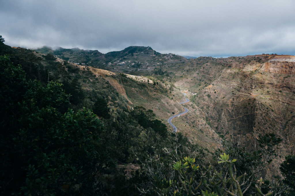
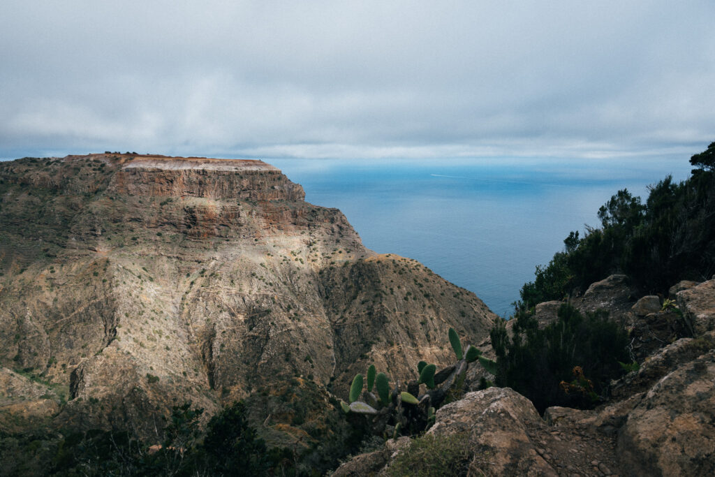
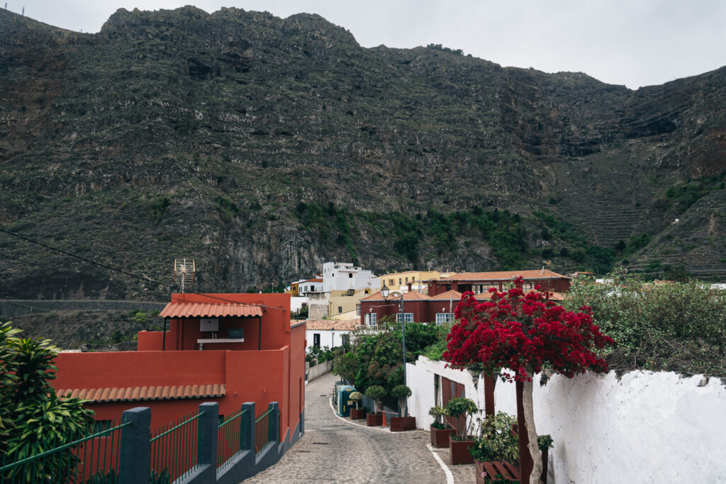
A must-visit today is Pescante de Hermigua. This place was constructed in the early 20th century as a loading dock. Its main purpose was to facilitate the export of agricultural products. In the mid-20th century, it became out of use. There is a natural swimming pool known as Piscina Natural de Hermigua. The surrounding rocks help break the waves, so the water is calm which makes it great for a relaxing swim.
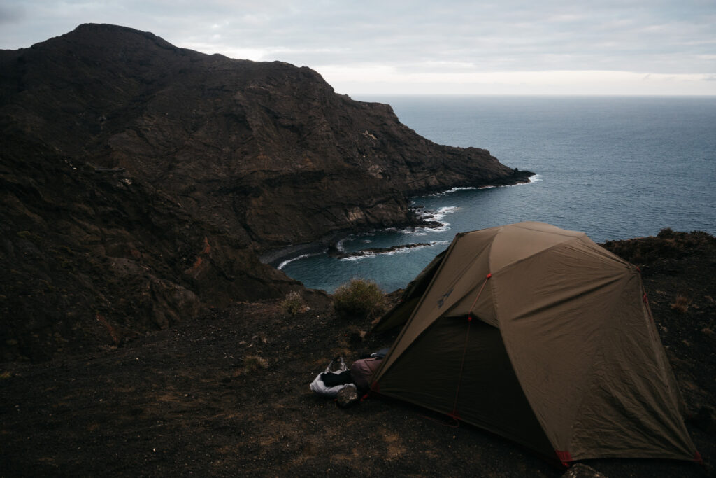
Next is a very steep uphill part to Mirador de la Orilla, but no worries, once you reach the top there are absolutely stunning views and the path won’t get that hard anymore for a long time. I started looking for a camp spot, because darkness was settling in, but it’s hard to find a flat spot here. Eventually, I found a small flat spot to pitch the tent. The views were stunning once again.
12 km – 435 m elevation gain.
Tip: Buy lots of food & water for the coming days, because you won’t encounter any supply points until San Sebastian de la Gomera.
DAY 6
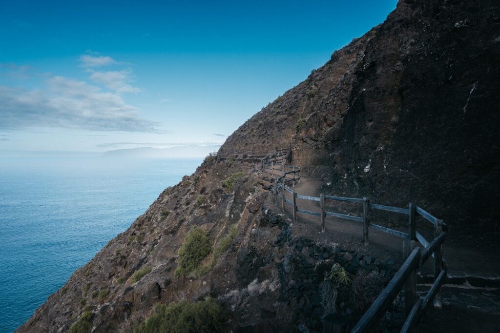
Today you’ll find yourself in Parque Natural Majona. The northwestern part of La Gomera has been my favorite part of the island. From the cliffs at an elevation of about 100 meters you’ll climb up once again, to the top at 750 meters. After reaching the top, it’s mostly flat and downhill again for the next 20 km.
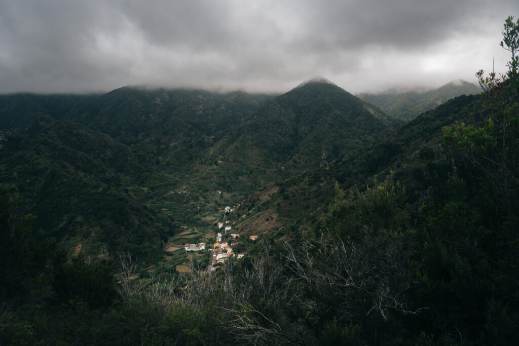
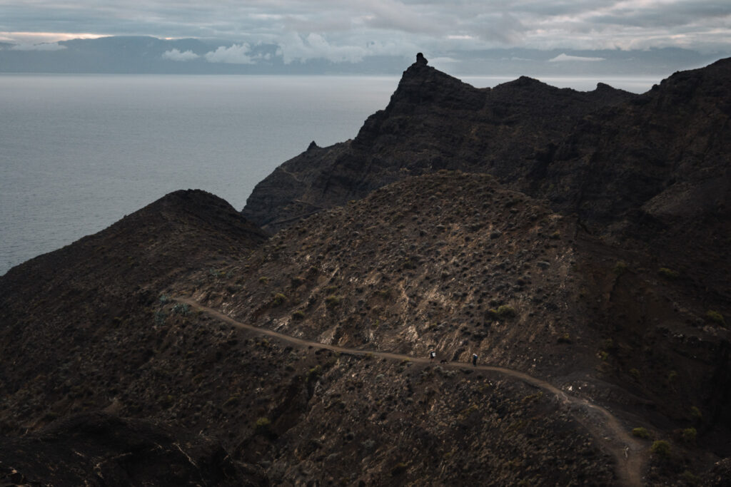
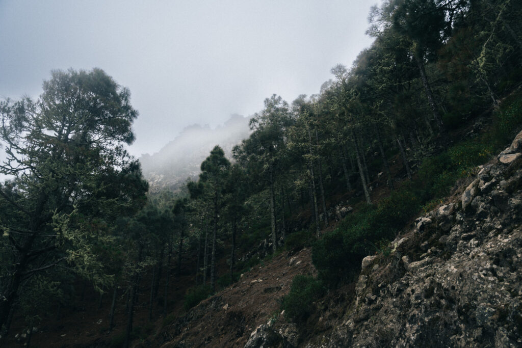
This area is way more remote and isolated than the past few days. Also, at this part of the island it’s often misty, which created this magical atmosphere. Surrounded by the bleating of goats and beautiful views, you’ll continue the GR132.
On day 6 you walk continuously on gravel paths with great views of the Atlantic Ocean and Tenerife. I only came across two fishermen here, and for the rest of the time, I didn’t see anyone for about three hours. Make sure your camera still has enough battery, because today is photography heaven.
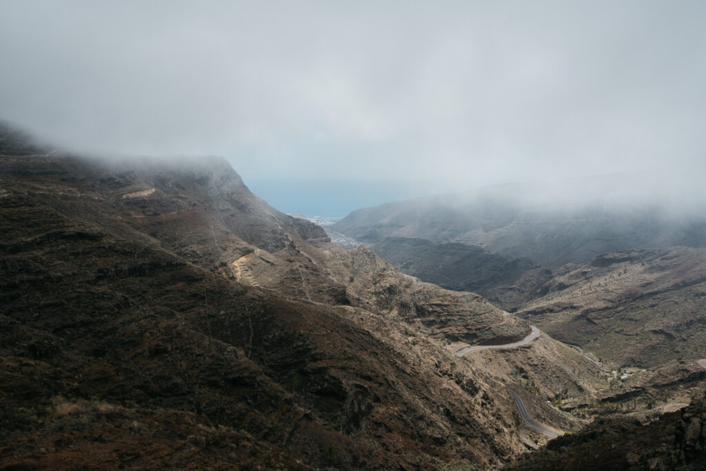
After finishing the hike through Parque Natural Majona, you’ll reach a three-way junction. Here, you’ll find an absolutely magnificent viewpoint, where in the distance, you can catch a glimpse of where the hike all started: San Sebastián de la Gomera
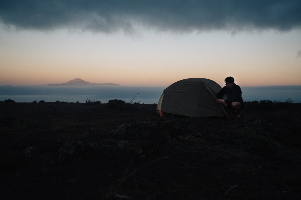
The most beautiful camp spot was saved for the last night. I finished this fantastic hike with a great view over the valley on one side, and a view over San Sebastian de la Gomera on the other.
There’s only one word to describe day 6: magical.
14 km – 660 m elevation gain.
Tips: If you have trouble finding a suitable camp spot on day 5 near the cliffs, I’d recommend climbing up the mountain, because more camp spots will then appear.
DAY 7
Today is a relatively easy hike as you’ll start the hike at an elevation of 700 meters and go downhill all the way back to sea level. I’d recommend heading out a little earlier today, since there is very little shelter from the sun. Even though it was almost all downhill, I was sweating profusely, and I was almost out of water.
You’ll also meet more people here again after being in the wilderness for two days, because many tourists do a one-day hike to Parque Natural Majona starting from San Sebastian.
Feeling satisfied, but also a little sad because this fantastic hike was coming to an end, I walked further back to San Sebastian.
The next day the ferry departed for Tenerife. I booked a hotel in San Sebastian and I don’t think I need to explain how good a bed and shower felt after all those nights of wild camping!
10 km – 250 m elevation gain.
And that concludes my La Gomera hiking guide. I hope you found it helpful and are as excited as I was to visit this beautiful island. Get ready to have your mind blown and have some adventures of a lifetime!
A little surprise for those who read all the way to the end. Below you can download the GPX files for the whole trail:
Conclusion
If you’re looking for a rewarding adventure, La Gomera absolutely won’t disappoint. Do you have any questions about this hike? Feel free reaching out to me on Instagram.
Did you enjoy reading about my La Gomera adventure? You can check out my whole experience on Instagram.
Want to keep reading? You can find all posts here.
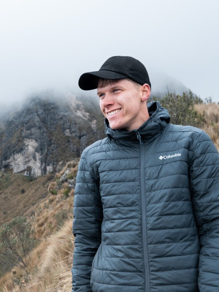
– Bart


A wonderfully detailed and highly engaging guide that captures the beauty of La Gomera in a truly captivating way, complemented by stunning photos.
At the beginning of January I hiked this trail in reverse and relied heavily on the information provided in this post, which turned out to be spot on.
My main concerns before setting out were where to get water, which is scarce on the island, and where to camp, as I’d heard it could be difficult to find suitable flat spots. This guide addresses both issues clearly and it can be used to plan and structure your hike accordingly.
Being a bit of a worrier, I also reached out to Bart on Instagram, and he was kind enough to share his exact wild camping spots and to answer all my questions. That extra help made a huge difference in planning and then enjoying my trip.
Due to how I planned my route and the wild weather conditions I encountered – which made for some classic type-2 fun – I ended up camping in only one of the (stunning!) spots Bart recommended, near Juego de Bolas. Still, all the information he shared proved very useful. As a bonus, I now get to follow his other incredible adventures on Instagram, which I highly recommend doing!
This trail is challenging, but incredibly varied and beautiful from start to finish. If you’re considering doing it, just go for it! Everything you need to know is in this post 🙂
Prachtig beschreven Bart. Je hebt echt schrijverstalent. Ik werd helemaal meegesleept in je verhaal! Indrukwekkend allemaal. Mooie uitdaging!